The
Moffat Tunnel is a
railroad and
water tunnel that cuts through the
Continental Divide in north-central
Colorado. Named after Colorado railroad pioneer
David Moffat, the tunnel's first railroad traffic passed through in February 1928.
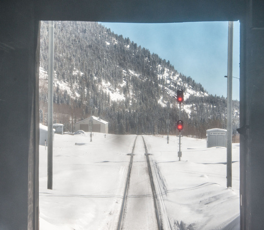
Fifty miles (80 km) west of
Denver, Colorado is the East Portal in the Front Range, about 10 miles (16 km) west of the town of
Rollinsville, Colorado at
WikiMiniAtlas
39°54′08″N 105°38′46″W / 39.90235°N 105.6461°W / 39.90235; -105.6461Coordinates:
39°54′08″N 105°38′46″W / 39.90235°N 105.6461°W / 39.90235; -105.6461. The West Portal is near the
Winter Park Resort ski area at
WikiMiniAtlas
39°53′15″N 105°45′41″W / 39.887434°N 105.761347°W / 39.887434; -105.761347. The railroad tunnel is 24 feet (7.3 m) high, 18 feet (5.5 m) wide, and 6.2 miles (10.0 km) long. The apex of the tunnel is at 9,239 feet (2,816 m)
above sea level. The Moffat Tunnel finally provided Denver with a western link through the
continental divide, as both
Cheyenne, Wyoming to the north and
Pueblo, Colorado to the south already enjoyed rail access to the
West Coast. It follows the right-of-way laid out by Moffat in 1902 while he was seeking a better and shorter route from Denver to
Salt Lake City. The water tunnel and the railroad tunnel parallel each other; the water tunnel delivers a portion of Denver's
water supply.