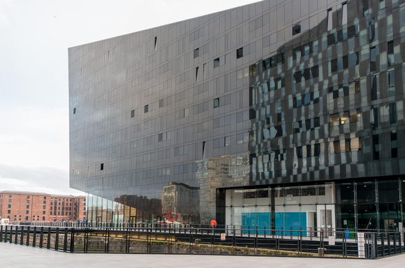
Appalling brutal architecture on Mann Island
Mann Island was formed in the 18th and 19th centuries as part of the Liverpool dock complex. It was a virtual island, with Georges Dock to the north, Canning Dock to the east and south, and the River Mersey to the west. It was connected to the shoreline by a narrow neck of land opposite James Street.It was the site of the Manchester Dock, opening onto the river, and two graving docks, opening into Canning Dock. It was also the location of the Great Western Railway warehouses, and the Mersey Railway pumping station, all of which are Grade II listed buildings. Later, in the 20th century, it was the site for the James Street station of the Liverpool Overhead Railway.The site ceased to be an “island” in 1899 when the Georges Dock was filled in to provide building land for the Port of Liverpool Building, and it became physically joined to the Pier Head. However the name was continued in the roadway which extended into the Pier Head from James Street. During the 20th Century Mann Island served as a tram and bus terminus, for routes serving the south of the city, and adjoining the Pier Head bus terminus serving the north.